Geology of Kangaroo Creek
|
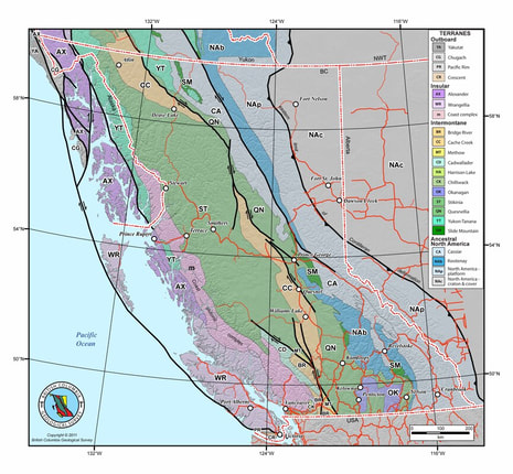
Quesnel Terrane - The Late Triassic to Early Jurassic Quesnel Terrane…was accreted to the North American continent, in part by subduction and in part by obduction. The Eureka Thrust fault marks the boundary between the Quesnel and Barkerville terranes. The terrane is partly submarine and partly subaerial, consisting of volcanic and volcaniclastic rocks and co-magmatic intrusions, with minor carbonate lenses and related sedimentary rocks.
The Quesnel Trough is a well-mineralized region typical of other Late Triassic to Early Jurassic volcano-plutonic island arcs in the Cordillera. It hosts a wide variety of mineral deposits. The principal recent exploration and economic development targets in the central Quesnel belt are alkalic intrusion-related porphyry copper-gold deposits and gold-bearing propylitic alteration zones formed in volcanic rocks peripheral to some of the intrusions. Other important targets are auriferous quartz veins in the black phyllite metasedimentary succession. The veins in some black phyllite members have potential to be mined as large tonnage, low-grade deposits. Tertiary rocks are mineralized with copper and gold. Antimony-arsenic and mercury mineralization in some apparently low temperature quartzcalcite veins indicated the potential for epithermal deposits. Placer mining for gold, said to occur together with platinum, has been of major historical and economic importance. |
Gold Rush History of Kangaroo Creek
|
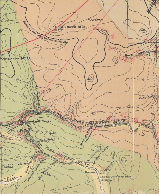
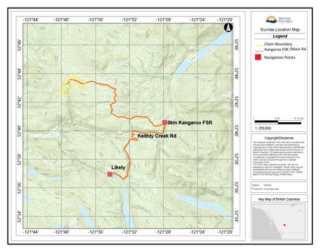
Placer gold was historically mined in Kangaroo Creek which empties into Cariboo River, about 9 kilometres northwest of Likely.
Production from 1886-95 totalled 8553 grams gold. Bedrock geology in the area consists of Middle-Upper Triassic basal black phyllite of the Nicola Group. "Data from the Cariboo mining district indicate that supergene leaching of gold dispersed within massive sulphides by Tertiary deep weathering followed by Cenozoic erosion is the most likely explanation for the occurrence of coarse gold nuggets in Quaternary sediments" (Exploration in British Columbia 1989, page 147). The first placer mining in the Quesnel mining district was along the Quesnel River, and on Horsefly River in 1859. In 1860, new discoveries were rapidly made - Keithley, Snowshoe, and Harvey creeks were discovered and a large amount of gold was produced before the earliest production was recorded in 1874. Fully one-third of the total production of the Quesnel district is believed to have been mined between 1860 and 1873 (Bulletin 28). |
Lost Chinaman mine Of Kangaroo Creek
Historical Documents & Research Including Min Files and Technical Resports
|
| ||||||||||||
| |||||||


